
City
Bandar Lampung
Indonesia
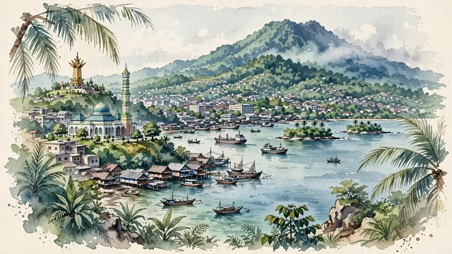
What guided this image
- Landmarks
- Menara Siger; Al-Furqan Mosque; Lampung Bay; Panjang; Mount Betung; Lampung; lush tropical flora; Sumatran
- Viewpoint
- Favor an elevated coastal viewpoint from the hills (such as from Bukit Kunyit or a coastal ridge) looking across the bay toward the city center and Mount Betung, showing coastal palm fronds in the foreground, the harbour, stilt settlements, and mosque minaret in the middle-ground, and the lush green mountain rising in the background.
- Palette
- Green should be the predominant color, especially in the thick primary rainforest covering Mount Betung, coastal palm groves, and urban tree canopies.
- Guarded against
- Not Jakarta, Padang, or Bali
Population1,166,066Wikidata: 1,166,761
Coordinates5.43°S, 105.26°E
Elevation15 m
Area169 km²
Time zoneAsia/JakartaUTC+7
Solar noon11:59clock runs 0.0 h behind the sun
Through the Earth
Dig straight through the Earth from Bandar Lampung and you surface nearest to La Dorada, Colombia — 9 km from the exact antipodal point.
Nearest cities in the atlas
| Tangerang | ID | 173 km |
| South Tangerang | ID | 188 km |
| Jakarta | ID | 196 km |
| Depok | ID | 203 km |
| Bekasi | ID | 211 km |
| Bogor | ID | 213 km |
| Palembang | ID | 285 km |
| Bandung | ID | 308 km |
Twinned cities
Wikidata records no twinned cities for Bandar Lampung inside this atlas.