
City
Gaziantep
Turkey
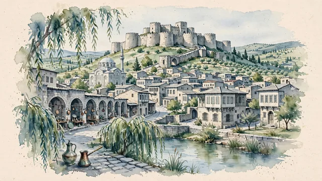
What guided this image
- Landmarks
- Gaziantep Castle; Bey; Coppersmiths' Bazaar; Kurtuluş Mosque; Alleben Deresi; Antep; lush southeastern Anatolian flora
- Viewpoint
- Favor the classic viewpoint looking across the city from Alleben Park or the foot of the hill toward Gaziantep Castle, showing willow branches and stone lane pavers in the foreground, the historic limestone mansions, copper workshops, and castle hill in the middle-ground, and the massive stone bastions of the fortress crowning the summit against the soft sky in the background.
- Palette
- Green should be the predominant color, especially in the thick canopies of weeping willows along Alleben Park, pistachio and olive orchards on the hillsides, and pine trees around the citadel.
- Guarded against
- Not Diyarbakır, Şanlıurfa, or Mardin
Population2,222,415Wikidata: 1,567,205
Coordinates37.06°N, 37.38°E
Elevation850 m
Area7,642 km²
Time zoneEurope/IstanbulUTC+3
Solar noon12:30clock runs 0.5 h ahead of the sun
Through the Earth
Dig straight through the Earth from Gaziantep and you surface in open ocean, nearest to Mataura, French Polynesia — 1,660 km from the exact antipodal point.
Nearest cities in the atlas
| Aleppo | SY | 98 km |
| Adana | TR | 182 km |
| Kayseri | TR | 249 km |
| Diyarbakır | TR | 268 km |
| Beirut | LB | 391 km |
| Damascus | SY | 407 km |
| Nicosia | CY | 419 km |
| Konya | TR | 442 km |
Twinned cities
- Aleppo SY
- Baghdad IQ
- Kharkiv UA
- Kuwait City KW
- Minsk BY
- Surabaya ID
- Ürümqi CN
- Ulan Bator MN
8 of 31 twinned cities are in this atlas. See the full network →