
City
Shymkent
Kazakhstan
What guided this image
- Landmarks
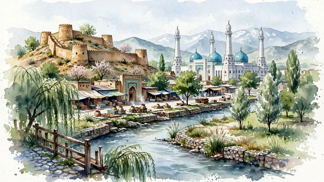
- Citadel of Shymkent; Shymkent Central Mosque; Koshkar-Ata River; Upper Market; traditional Central Asian clay and brick architecture; Central Asian oasis and mountain flora; Silk Road
- Viewpoint
- Favor the classic viewpoint looking across the landscape toward the signature landmarks of Shymkent, showing regional foliage and foreground textures, the iconic architectural monuments in the middle-ground, and the distant horizon fading in the background.
- Palette
- Green should be the predominant color, especially in weeping willows along the river, silver poplars, and plane trees (chinar).
Population1,200,000Wikidata: 854,500
Coordinates42.31°N, 69.60°E
Elevation506 m
Area347 km²
Time zoneAsia/AlmatyUTC+5
Solar noon12:22clock runs 0.4 h ahead of the sun
Through the Earth
Dig straight through the Earth from Shymkent and you surface in open ocean, nearest to Hanga Roa, Chile — 1,688 km from the exact antipodal point.
Nearest cities in the atlas
| Tashkent | UZ | 121 km |
| Bishkek | KG | 413 km |
| Dushanbe | TJ | 425 km |
| Almaty | KZ | 605 km |
| Kabul | AF | 866 km |
| Peshawar | PK | 939 km |
| Astana | KZ | 996 km |
| Islamabad | PK | 1,001 km |
Twinned cities
3 of 10 twinned cities are in this atlas. See the full network →
This city sits on
- Kazakhstancountry
- 42Nparallel
- UTC+5offset