
City
Aurangabad
India
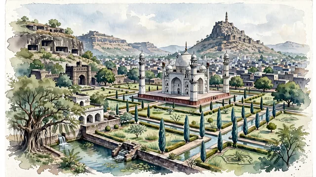
What guided this image
- Landmarks
- Bibi Ka Maqbara; Daulatabad Fort; Aurangabad Caves; Panchakki; lush Deccan flora; Yadava
- Viewpoint
- Favor an elevated viewpoint overlooking the gardens toward Bibi Ka Maqbara, showing garden water fountains and cypress trees in the foreground, the mausoleum and its four corner minarets in the middle-ground, and the rugged, flat-topped basalt hills and Daulatabad Fort rising in the background.
- Palette
- Green should be the predominant color, especially in the charbagh garden lawns, cypress trees, neem canopies, and the monsoon-green scrub of the basalt hills.
- Guarded against
- Avoid confusing Aurangabad with Agra (Bibi Ka Maqbara has distinctive Deccan proportions, octagonal minarets, and is framed by the rugged basalt hills of Maharashtra).
Population1,175,116Wikidata: 1,371,330
Coordinates19.88°N, 75.34°E
Elevation568 m
Area219,000,000 km²
Time zoneAsia/KolkataUTC+5:30
Solar noon12:29clock runs 0.5 h ahead of the sun
Through the Earth
Dig straight through the Earth from Aurangabad and you surface in open ocean, nearest to Hanga Roa, Chile — 943 km from the exact antipodal point.
Nearest cities in the atlas
| Nashik | IN | 163 km |
| Pimpri | IN | 213 km |
| Pimpri-Chinchwad | IN | 214 km |
| Shivaji Nagar | IN | 217 km |
| Pune | IN | 217 km |
| Kalyān | IN | 241 km |
| Dombivali | IN | 248 km |
| Navi Mumbai | IN | 261 km |
Twinned cities
Wikidata records no twinned cities for Aurangabad inside this atlas.