
City
Bloemfontein
Capital of South Africa
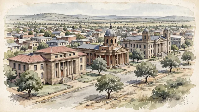
What guided this image
- Landmarks
- President Brand Street; The Supreme Court of Appeal; The Fourth Raadsaal; Bloemfontein City Hall; Late
- Viewpoint
- Use a slightly elevated oblique view along President Brand Street, favoring the recognizable sandstone civic ensemble over a distant Naval Hill panorama in which the individual buildings would become indistinct.
- Palette
- For this semi-arid Highveld city, explicitly shift the greens toward grey-green, olive, dusty sage and pale khaki; cool sand-beige sandstone and slate-grey roofs should carry more of the image than vegetation, while real avenue trees remain visible.
- Guarded against
- Avoid making Bloemfontein look like Cape Town beneath Table Mountain, palm-rich Durban, or a dense Johannesburg high-rise district.
Population556,637Wikidata: 256,185
Coordinates29.12°S, 26.21°E
Elevation1,395 m
Area236 km²
Time zoneAfrica/JohannesburgUTC+2
Solar noon12:15clock runs 0.3 h ahead of the sun
Through the Earth
Dig straight through the Earth from Bloemfontein and you surface in open ocean, nearest to Kahuku, United States — 927 km from the exact antipodal point.
Nearest cities in the atlas
| Maseru | LS | 125 km |
| Soweto | ZA | 356 km |
| Johannesburg | ZA | 371 km |
| Pretoria | ZA | 424 km |
| Durban | ZA | 474 km |
| Gaborone | BW | 498 km |
| Gqeberha | ZA | 541 km |
| Lobamba | SZ | 572 km |
Twinned cities
- Nanjing CN
1 of 2 twinned cities are in this atlas. See the full network →
This city sits on
- South Africacountry
- 30Sparallel
- UTC+2offset