
City
Bursa
Turkey
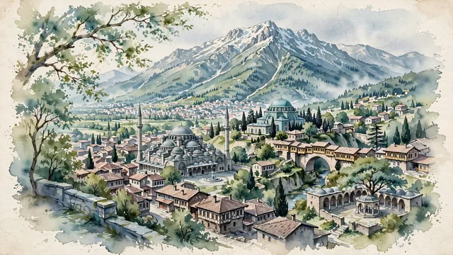
What guided this image
- Landmarks
- Grand Mosque of Bursa; Green Mosque; Mount Uludağ; Irgandı Bridge; Koza Han; Early Ottoman
- Viewpoint
- Favor the classic viewpoint looking south toward the historic center and Mount Uludağ (such as from Tophane Park or the Gökdere valley), showing plane tree branches in the foreground, the twenty domes of Ulu Cami and the turquoise dome of the Green Tomb in the middle-ground, and the towering, snow-capped slopes of Uludağ rising in the background.
- Palette
- Green should be the predominant color, especially in the thick pine and beech forests of Mount Uludağ, parklands, and plane trees ("Green Bursa").
- Guarded against
- Not Istanbul, Konya, or Edirne
Population3,101,833Wikidata: 2,901,396
Coordinates40.20°N, 29.06°E
Elevation100 m
Area11,043 km²
Time zoneEurope/IstanbulUTC+3
Solar noon13:04clock runs 1.1 h ahead of the sun
Through the Earth
Dig straight through the Earth from Bursa and you surface in open ocean, nearest to Mataura, French Polynesia — 1,879 km from the exact antipodal point.
Nearest cities in the atlas
| Istanbul | TR | 91 km |
| İzmir | TR | 259 km |
| Ankara | TR | 324 km |
| Antalya | TR | 393 km |
| Konya | TR | 393 km |
| Athens | GR | 522 km |
| Bucharest | RO | 529 km |
| Sofia | BG | 553 km |
Twinned cities
7 of 33 twinned cities are in this atlas. See the full network →