
City
Datong
China
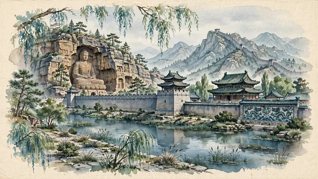
What guided this image
- Landmarks
- Yungang Grottoes; Ming Dynasty Datong Ancient City Wall; Liao Dynasty Huayan Temple; Nine-Dragon Screen; Mount Heng; northern Chinese flora; Northern Wei Buddhist
- Viewpoint
- Favor the classic viewpoint looking toward the colossal Cave 20 seated Buddha at Yungang or looking along the reflection moat toward the Datong City Wall corner turret, showing willow branches and stone paths in the foreground, the ancient sandstone carvings or fortified brick walls in the middle-ground, and the rugged, barren mountain ridges fading in the background.
- Palette
- Green should be the predominant color, especially in the weeping willows along the moat, hillside pine groves around Yungang, and city park vegetation.
- Guarded against
- Not Taiyuan, Pingyao, or Beijing
Population1,850,000Wikidata: 3,318,054
Coordinates40.09°N, 113.29°E
Elevation1,042 m
Area14,056 km²
Time zoneAsia/ShanghaiUTC+8
Solar noon12:27clock runs 0.4 h ahead of the sun
Through the Earth
Dig straight through the Earth from Datong and you surface nearest to Valcheta, Argentina — 80 km from the exact antipodal point.
Nearest cities in the atlas
| Hohhot | CN | 160 km |
| Baoding | CN | 230 km |
| Shijiazhuang | CN | 250 km |
| Taiyuan | CN | 255 km |
| Beijing | CN | 266 km |
| Jinzhong | CN | 272 km |
| Baotou | CN | 299 km |
| Ordos | CN | 304 km |
Twinned cities
Wikidata records no twinned cities for Datong inside this atlas.