
City
Gujranwala
Pakistan
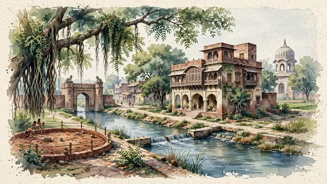
What guided this image
- Landmarks
- Haveli of Maharaja Ranjit Singh; Samadhi of Mahan Singh and Sardar Charat Singh; Sheranwala Gate; Upper Chenab Canal; Punjabi; Old Walled City; lush Punjab canal-plain flora; Sikh Empire
- Viewpoint
- Favor the classic viewpoint looking toward the carved brick facade and jharokha balconies of Ranjit Singh's Haveli or along the tree-lined banks of the Upper Chenab Canal with historic domes in the distance, showing banyan branches and cobblestones in the foreground, the historic haveli or canal waters in the middle-ground, and the soft Punjabi plain horizon fading in the background.
- Palette
- Green should be the predominant color, especially in the thick canopies of banyan, peepal, and sheesham trees along the Upper Chenab Canal and haveli courtyards.
- Guarded against
- Not Lahore, Faisalabad, or Rawalpindi
Population2,511,118Wikidata: 1,569,090
Coordinates32.16°N, 74.19°E
Elevation231 m
Area3,198 km²
Time zoneAsia/KarachiUTC+5
Solar noon12:03clock runs 0.1 h ahead of the sun
Through the Earth
Dig straight through the Earth from Gujranwala and you surface in open ocean, nearest to Hanga Roa, Chile — 657 km from the exact antipodal point.
Nearest cities in the atlas
| Lahore | PK | 68 km |
| Amritsar | IN | 89 km |
| Faisalabad | PK | 133 km |
| Rawalpindi | PK | 192 km |
| Islamabad | PK | 204 km |
| Ludhiana | IN | 210 km |
| Srinagar | IN | 222 km |
| Peshawar | PK | 318 km |
Twinned cities
Wikidata records no twinned cities for Gujranwala inside this atlas.