
City
Karbala
Iraq
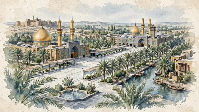
What guided this image
- Landmarks
- Shrine of Imam Husayn; Shrine of Al-Abbas; Bayn; Al-Ukhaidir Fortress; Husayniyya Canal; Mesopotamian; lush Euphrates valley oasis flora; Battle of Karbala
- Viewpoint
- Favor the classic viewpoint looking down the palm-lined marble concourse of Bayn al-Haramayn toward the golden dome and minarets of the Imam Husayn or Al-Abbas Shrine, showing date palm fronds and marble pavers in the foreground, the wide pedestrian boulevard and shrine facades in the middle-ground, and the soaring golden domes and minarets against the soft Mesopotamian sky in the background.
- Palette
- Green should be the predominant color, especially in the thick date palm groves enclosing the city, courtyard gardens, and fountain planters.
- Guarded against
- Not Najaf, Baghdad, or Samarra
Population1,218,732Wikidata: 690,100
Coordinates32.62°N, 44.02°E
Elevation28 m
Time zoneAsia/BaghdadUTC+3
Solar noon12:04clock runs 0.1 h ahead of the sun
Through the Earth
Dig straight through the Earth from Karbala and you surface in open ocean, nearest to Adamstown, Pitcairn Islands — 1,016 km from the exact antipodal point.
Nearest cities in the atlas
| Baghdad | IQ | 88 km |
| Sadr City | IQ | 95 km |
| Kirkuk | IQ | 319 km |
| Erbil | IQ | 397 km |
| Al Mawşil al Jadīdah | IQ | 421 km |
| Mosul | IQ | 422 km |
| Basrah | IQ | 427 km |
| Al Başrah al Qadīmah | IQ | 430 km |
Twinned cities
Wikidata records no twinned cities for Karbala inside this atlas.