
City
Matola
Mozambique
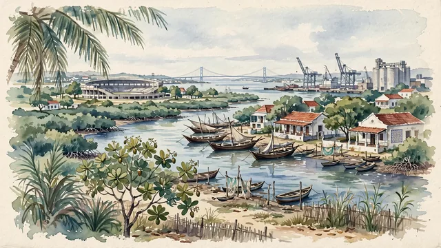
What guided this image
- Landmarks
- Matola River; Estádio da Machava; Matola; Mozambican; Maputo Bay; lush southern Mozambican coastal flora; Mozambican
- Viewpoint
- Favor the classic viewpoint looking across the landscape toward the signature landmarks of Matola, showing regional foliage and foreground textures, the iconic architectural monuments in the middle-ground, and the distant horizon fading in the background.
- Palette
- Green should be the predominant color, especially in thick cashew nut orchards, coconut palms along shores, and mangrove channels.
Population1,198,988Wikidata: 1,032,197
Coordinates25.96°S, 32.46°E
Elevation3 m
Area373 km²
Time zoneAfrica/MaputoUTC+2
Solar noon11:50clock runs 0.2 h behind the sun
Through the Earth
Dig straight through the Earth from Matola and you surface in open ocean, nearest to Honomu, United States — 1,030 km from the exact antipodal point.
Nearest cities in the atlas
| Maputo | MZ | 12 km |
| Lobamba | SZ | 138 km |
| Mbabane | SZ | 139 km |
| Pretoria | ZA | 428 km |
| Johannesburg | ZA | 442 km |
| Durban | ZA | 456 km |
| Soweto | ZA | 461 km |
| Maseru | LS | 617 km |
Twinned cities
Wikidata records no twinned cities for Matola inside this atlas.
This city sits on
- Mozambiquecountry
- 26Sparallel
- UTC+2offset