
City
Pekanbaru
Indonesia
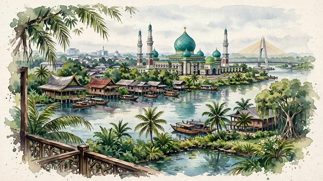
What guided this image
- Landmarks
- An-Nur Great Mosque; Siak River; Balai Adat Melayu Riau; Sang Nila Utama Museum; traditional riverside market life; lush tropical Sumatran flora; Malay
- Viewpoint
- Favor the classic viewpoint looking across the landscape toward the signature landmarks of Pekanbaru, showing regional foliage and foreground textures, the iconic architectural monuments in the middle-ground, and the distant horizon fading in the background.
- Palette
- Green should be the predominant color, especially in royal palms around An-Nur Mosque, weeping banyans along the Siak River, and coconut palms.
Population1,167,599Wikidata: 983,356
Coordinates0.52°N, 101.44°E
Elevation12 m
Area632 km²
Time zoneAsia/JakartaUTC+7
Solar noon12:14clock runs 0.2 h ahead of the sun
Through the Earth
Dig straight through the Earth from Pekanbaru and you surface nearest to Machachi, Ecuador — 2 km from the exact antipodal point.
Nearest cities in the atlas
| Singapore | SG | 281 km |
| Kuala Lumpur | MY | 293 km |
| Batam | ID | 295 km |
| Medan | ID | 459 km |
| Palembang | ID | 531 km |
| Bandar Lampung | ID | 786 km |
| Tangerang | ID | 942 km |
| South Tangerang | ID | 958 km |
Twinned cities
- Chongqing CN
1 of 3 twinned cities are in this atlas. See the full network →