
City
Shiraz
Iran
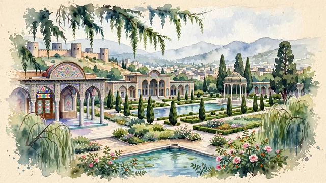
What guided this image
- Landmarks
- Nasir; Tomb of Hafez; UNESCO Bagh-e Eram; Arg of Karim Khan; Vakil Mosque and Vakil Bazaar; classic Persian garden flora; Qajar
- Viewpoint
- Favor the classic viewpoint looking across the landscape toward the signature landmarks of Shiraz, showing regional foliage and foreground textures, the iconic architectural monuments in the middle-ground, and the distant horizon fading in the background.
- Palette
- Green should be the predominant color, especially in towering Sarv-e Naz cypresses, fragrant Damask rose bushes, and sour orange trees.
Population1,249,942Wikidata: 1,869,001
Coordinates29.61°N, 52.53°E
Time zoneAsia/TehranUTC+3:30
Solar noon11:00clock runs 0.0 h behind the sun
Through the Earth
Dig straight through the Earth from Shiraz and you surface in open ocean, nearest to Adamstown, Pitcairn Islands — 568 km from the exact antipodal point.
Nearest cities in the atlas
| Isfahan | IR | 348 km |
| Manama | BH | 421 km |
| Dammam | SA | 426 km |
| Kuwait City | KW | 442 km |
| Al Başrah al Qadīmah | IQ | 464 km |
| Basrah | IQ | 468 km |
| Doha | QA | 490 km |
| Sharjah | AE | 554 km |
Twinned cities
Wikidata records no twinned cities for Shiraz inside this atlas.