
City
Tijuana
Mexico
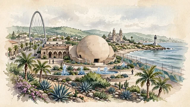
What guided this image
- Landmarks
- Tijuana Cultural Center; Tijuana Arch; Frontón Jai Alai; Cathedral of Our Lady of Guadalupe; Baja California coastal and desert flora; Pacific
- Viewpoint
- Favor the classic viewpoint looking across the landscape toward the signature landmarks of Tijuana, showing regional foliage and foreground textures, the iconic architectural monuments in the middle-ground, and the distant horizon fading in the background.
- Palette
- Green should be the predominant color, especially in California fan palms, blue agaves in CECUT gardens, and flowering bougainvillea.
Population1,922,523Wikidata: 1,964,788
Coordinates32.50°N, 117.00°W
Elevation20 m
Area637 km²
Time zoneAmerica/TijuanaUTC−8
Solar noon11:48clock runs 0.2 h behind the sun
Through the Earth
Dig straight through the Earth from Tijuana and you surface in open ocean, nearest to Baie aux Huîtres, Mauritius — 1,425 km from the exact antipodal point.
Nearest cities in the atlas
| San Diego | US | 29 km |
| Mexicali | MX | 146 km |
| Los Angeles | US | 207 km |
| Phoenix | US | 472 km |
| Ciudad Juárez | MX | 996 km |
| Monterrey | MX | 1,787 km |
| San Antonio | US | 1,795 km |
| Fort Worth | US | 1,841 km |
Twinned cities
- Busan KR
- Changchun CN
- Ciudad Juárez MX
- Havana CU
- León de los Aldama MX
- Los Angeles US
- Mexicali MX
- Panjin CN
- San Diego US
9 of 20 twinned cities are in this atlas. See the full network →