
City
Yinchuan
China
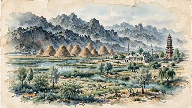
What guided this image
- Landmarks
- Western Xia Imperial Tombs; Nanguan Mosque; Chengtian Temple Pagoda; Sand Lake; Helan Mountains; Ningxia desert-oasis flora; Yellow River
- Viewpoint
- Favor the classic viewpoint looking across the landscape toward the signature landmarks of Yinchuan, showing regional foliage and foreground textures, the iconic architectural monuments in the middle-ground, and the distant horizon fading in the background.
- Palette
- Green should be the predominant color, especially in silver poplars, weeping willows along irrigation canals, and desert reeds around Sand Lake.
Population1,487,579Wikidata: 1,993,088
Coordinates38.47°N, 106.27°E
Elevation1,100 m
Area6,943 km²
Time zoneAsia/ShanghaiUTC+8
Solar noon12:55clock runs 0.9 h ahead of the sun
Through the Earth
Dig straight through the Earth from Yinchuan and you surface nearest to Saavedra, Chile — 46 km from the exact antipodal point.
Nearest cities in the atlas
| Wuzhong | CN | 54 km |
| Zhongwei | CN | 143 km |
| Bayan Nur | CN | 270 km |
| Wuwei | CN | 324 km |
| Ordos | CN | 329 km |
| Qingyang | CN | 330 km |
| Lanzhou | CN | 344 km |
| Baotou | CN | 390 km |
Twinned cities
Wikidata records no twinned cities for Yinchuan inside this atlas.