
City
Belmopan
Capital of Belize
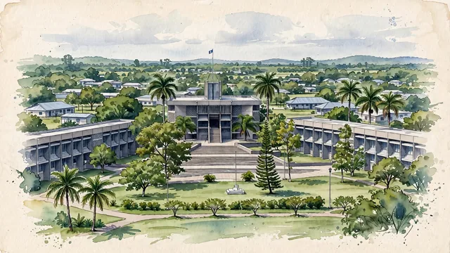
What guided this image
- Landmarks
- The National Assembly Building; The flanking government office blocks; Independence Plaza
- Viewpoint
- Use a slightly raised view across the Independence Plaza area toward the Assembly and its neighboring office blocks, broadening the familiar single-building photograph into the spacious civic landscape without fabricating additional attractions.
- Palette
- Muted botanical green should predominate in the real civic lawns and tropical tree cover, with slate-grey Assembly surfaces and blue-grey roof shadows retaining the modern planned-city identity.
- Guarded against
- Avoid making Belmopan look like Belize City with a Caribbean harbor, Antigua Guatemala with a preserved Spanish colonial core, or Tikal with Maya pyramids rising from unbroken jungle.
Population13,381Wikidata: 4,700
Coordinates17.25°N, 88.76°W
Elevation76 m
Area32,780,000 km²
Time zoneAmerica/BelizeUTC−6
Solar noon11:55clock runs 0.1 h behind the sun
Through the Earth
Dig straight through the Earth from Belmopan and you surface in open ocean, nearest to West Island, Cocos (Keeling) Islands — 825 km from the exact antipodal point.
Nearest cities in the atlas
| Guatemala City | GT | 345 km |
| Tegucigalpa | HN | 390 km |
| San Salvador | SV | 399 km |
| Mérida | MX | 423 km |
| Managua | NI | 630 km |
| Havana | CU | 933 km |
| San José | CR | 958 km |
| Puebla | MX | 1,018 km |
Twinned cities
- Taipei TW
1 of 1 twinned cities are in this atlas. See the full network →