
City
Guatemala City
Capital of Guatemala
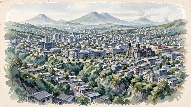
What guided this image
- Landmarks
- National Palace
- Palette
- Green should be prominent in vegetation and the overall visual impression.
- Guarded against
- Not a fictional or generic city
Population994,938Wikidata: 1,213,651
Coordinates14.64°N, 90.51°W
Elevation1,500 m
Area692 km²
Time zoneAmerica/GuatemalaUTC−6
Solar noon12:02clock runs 0.0 h ahead of the sun
Through the Earth
Dig straight through the Earth from Guatemala City and you surface in open ocean, nearest to West Island, Cocos (Keeling) Islands — 839 km from the exact antipodal point.
Nearest cities in the atlas
| San Salvador | SV | 177 km |
| Belmopan | BZ | 345 km |
| Tegucigalpa | HN | 361 km |
| Managua | NI | 539 km |
| Mérida | MX | 710 km |
| San José | CR | 873 km |
| Puebla | MX | 955 km |
| Ciudad Nezahualcoyotl | MX | 1,047 km |
Twinned cities
- Madrid ES
- Mexico City MX
- Monterrey MX
- San José CR
- Santo Domingo DO
- Taipei TW
- Tegucigalpa HN
7 of 11 twinned cities are in this atlas. See the full network →