
City
Birmingham
United Kingdom
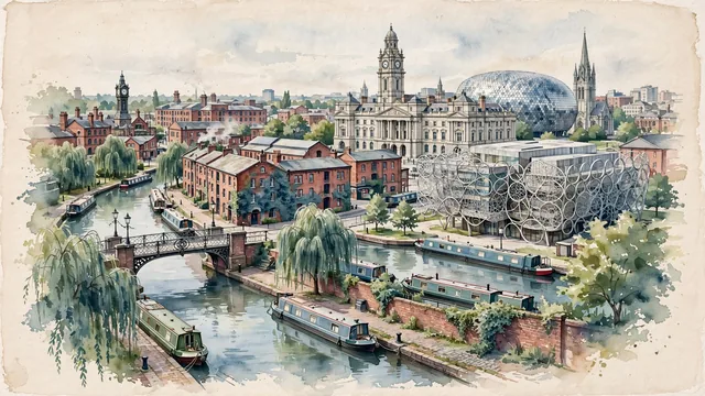
What guided this image
- Landmarks
- Gas Street Basin; Library of Birmingham; Victoria Square; St. Martin; Jewellery Quarter; lush urban greenery; Industrial Revolution
- Viewpoint
- Favor the classic viewpoint from Gas Street Basin or the canal approaches looking toward Centenary Square and the city center, showing narrowboats and brick towpaths in the foreground, canal footbridges, converted warehouses, and the Library of Birmingham in the middle-ground, and the Victorian towers and modern spires in the background.
- Palette
- Green should be the predominant color, especially in the weeping willows along canal basins, parklands, and ivy growing on historic brick walls.
- Guarded against
- Not London, Manchester, or Liverpool
Population1,157,603Wikidata: 1,123,000
Coordinates52.48°N, 1.90°W
Elevation140 m
Area268 km²
Time zoneEurope/LondonUTC+0
Solar noon12:08clock runs 0.1 h ahead of the sun
Through the Earth
Dig straight through the Earth from Birmingham and you surface in open ocean, nearest to Papatowai, New Zealand — 905 km from the exact antipodal point.
Nearest cities in the atlas
| London | GB | 162 km |
| Dublin | IE | 307 km |
| Amsterdam | NL | 460 km |
| Brussels | BE | 467 km |
| Paris | FR | 502 km |
| Köln | DE | 633 km |
| Luxembourg | LU | 645 km |
| Hamburg | DE | 803 km |
Twinned cities
6 of 10 twinned cities are in this atlas. See the full network →
This city sits on
- United Kingdomcountry
- 52Nparallel
- UTC+0offset