
City
London
Capital of United Kingdom
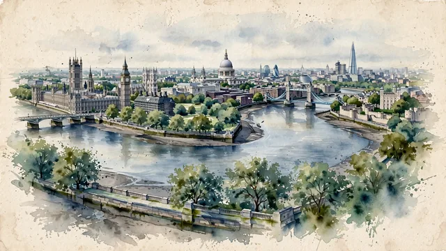
What guided this image
- Landmarks
- River Thames; Palace of Westminster; St. Paul's Cathedral; Westminster Bridge; London's; London; London; St Mary Axe
- Viewpoint
- Favor an elevated panoramic viewpoint looking east along the River Thames (such as from near Westminster or Waterloo Bridge), capturing the sweeping bend of the river with St. Paul's Cathedral and city towers rising in the middle-ground, framed by riverbank trees.
- Palette
- Green should be the predominant color, especially in the royal parks, riverbank plane trees, and garden squares.
- Guarded against
- Not a generic European metropolis or Victorian fantasy
Population8,961,989Wikidata: 1,011,157
Coordinates51.51°N, 0.13°W
Elevation15 m
Area1,572 km²
Time zoneEurope/LondonUTC+0
Solar noon12:01clock runs 0.0 h ahead of the sun
Through the Earth
Dig straight through the Earth from London and you surface in open ocean, nearest to Waitangi, New Zealand — 882 km from the exact antipodal point.
Nearest cities in the atlas
| Birmingham | GB | 162 km |
| Brussels | BE | 321 km |
| Paris | FR | 344 km |
| Amsterdam | NL | 357 km |
| Dublin | IE | 462 km |
| Luxembourg | LU | 490 km |
| Köln | DE | 497 km |
| Hamburg | DE | 720 km |
Twinned cities
- Algiers DZ
- Amsterdam NL
- Arequipa PE
- Baku AZ
- Beijing CN
- Berlin DE
- Bogotá CO
- Bucharest RO
- Buenos Aires AR
- Delhi IN
- Istanbul TR
- Jakarta ID
- Johannesburg ZA
- Karachi PK
- Kuala Lumpur MY
- La Paz BO
- Los Angeles US
- Mexico City MX
- Moscow RU
- Mumbai IN
- New Delhi IN
- New York City US
- Oslo NO
- Phnom Penh KH
- Podgorica ME
- Santo Domingo DO
- Shanghai CN
- Sofia BG
- Tehran IR
- Tokyo JP
- Zagreb HR
31 of 32 twinned cities are in this atlas. See the full network →
This city sits on
- United Kingdomcountry
- 51Nparallel
- UTC+0offset