
City
Conakry
Capital of Guinea
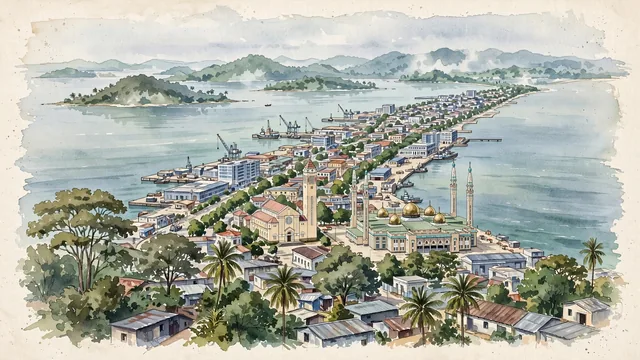
What guided this image
- Landmarks
- Grand Mosque of Conakry; Cathedral of Sainte-Marie; Kaloum; Îles de Los
- Viewpoint
- Favor a slightly elevated viewpoint over the peninsula, looking south-west along it toward Kaloum, with the sea on both sides and the Îles de Los on the horizon.
- Palette
- Green should be the predominant color, especially in the mango trees, palms, and tropical vegetation, the wooded Îles de Los, and the overall visual impression.
- Guarded against
- Avoid making Conakry look like Dakar, Abidjan, Lagos, or a generic tropical resort, and avoid Mediterranean or Alpine character.
Population1,928,389Wikidata: 1,667,864
Coordinates9.54°N, 13.68°W
Elevation13 m
Area450 km²
Time zoneAfrica/ConakryUTC+0
Solar noon12:55clock runs 0.9 h ahead of the sun
Through the Earth
Dig straight through the Earth from Conakry and you surface nearest to Lata, Solomon Islands — 143 km from the exact antipodal point.
Nearest cities in the atlas
| Camayenne | GN | 1 km |
| Freetown | SL | 126 km |
| Bissau | GW | 332 km |
| Monrovia | LR | 480 km |
| Banjul | GM | 537 km |
| Touba | SN | 638 km |
| Dakar | SN | 703 km |
| Bamako | ML | 709 km |
Twinned cities
2 of 3 twinned cities are in this atlas. See the full network →