
City
Touba
Senegal
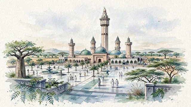
What guided this image
- Landmarks
- Great Mosque of Touba; Cheikh Ahmadou Bamba; Sahel; Cheikh Ahmadou Bamba; Grand Magal; Sahelian savannah flora; Mouride Sufi Islamic
- Viewpoint
- Favor the classic viewpoint looking across the landscape toward the signature landmarks of Touba, showing regional foliage and foreground textures, the iconic architectural monuments in the middle-ground, and the distant horizon fading in the background.
- Palette
- Green should be the predominant color, especially in shady neem trees lining pilgrim avenues, giant baobabs in the distance, and hardy acacia scrub.
Population1,120,824Wikidata: 529,176
Coordinates14.86°N, 15.88°W
Elevation35 m
Time zoneAfrica/DakarUTC+0
Solar noon13:04clock runs 1.1 h ahead of the sun
Through the Earth
Dig straight through the Earth from Touba and you surface nearest to Port-Olry, Vanuatu — 318 km from the exact antipodal point.
Nearest cities in the atlas
| Dakar | SN | 169 km |
| Banjul | GM | 174 km |
| Bissau | GW | 335 km |
| Nouakchott | MR | 359 km |
| Camayenne | GN | 638 km |
| Conakry | GN | 638 km |
| Freetown | SL | 764 km |
| Praia | CV | 820 km |
Twinned cities
Wikidata records no twinned cities for Touba inside this atlas.