
City
Dhanbad
India
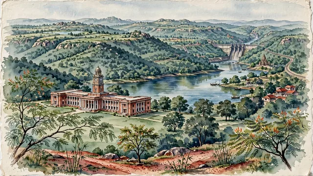
What guided this image
- Landmarks
- Heritage Main Building of the Indian School of Mines; Topchanchi Lake; Maithon Dam and Panchet Dam; Kalyaneshwari Temple; Chota Nagpur; lush Chota Nagpur flora; Indian
- Viewpoint
- Favor the classic viewpoint looking across the academic lawns toward the IIT ISM Heritage Building or overlooking the tranquil waters of Topchanchi Lake toward the hills, showing sal tree branches and laterite paths in the foreground, the colonial red-brick clock tower or lake waters in the middle-ground, and the gentle forested plateau ridges fading in the background.
- Palette
- Green should be the predominant color, especially in the dense sal forests of the Chota Nagpur Plateau, IIT ISM lawns, and hills around Topchanchi.
- Guarded against
- Not Ranchi, Jamshedpur, or Kolkata
Population1,196,214
Coordinates23.80°N, 86.43°E
Elevation222 m
Area2,052 km²
Time zoneAsia/KolkataUTC+5:30
Solar noon11:44clock runs 0.3 h behind the sun
Through the Earth
Dig straight through the Earth from Dhanbad and you surface in open ocean, nearest to Hanga Roa, Chile — 1,633 km from the exact antipodal point.
Nearest cities in the atlas
| Jamshedpur | IN | 114 km |
| Ranchi | IN | 125 km |
| Howrah | IN | 236 km |
| Patna | IN | 238 km |
| Kolkata | IN | 241 km |
| Khulna | BD | 338 km |
| Rangpur | BD | 358 km |
| Varanasi | IN | 385 km |
Twinned cities
Wikidata records no twinned cities for Dhanbad inside this atlas.