
City
Rangpur
Bangladesh
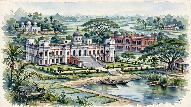
What guided this image
- Landmarks
- Tajhat Palace; Carmichael College's; Ghaghat River; Keramatia Mosque; traditional rural Bengali architecture; fertile alluvial Bengal flora; Indo-Saracenic
- Viewpoint
- Favor the classic viewpoint looking across the landscape toward the signature landmarks of Rangpur, showing regional foliage and foreground textures, the iconic architectural monuments in the middle-ground, and the distant horizon fading in the background.
- Palette
- Green should be the predominant color, especially in betel nut palms, rain trees, and mango orchards framing the palace lawns.
Population1,031,388Wikidata: 3,169,614
Coordinates25.75°N, 89.25°E
Time zoneAsia/DhakaUTC+6
Solar noon12:03clock runs 0.1 h ahead of the sun
Through the Earth
Dig straight through the Earth from Rangpur and you surface in open ocean, nearest to San Juan Bautista, Chile — 1,446 km from the exact antipodal point.
Nearest cities in the atlas
| Thimphu | BT | 195 km |
| Gazipur | BD | 228 km |
| Dhaka | BD | 255 km |
| Comilla | BD | 321 km |
| Khulna | BD | 328 km |
| Dhanbad | IN | 358 km |
| Howrah | IN | 365 km |
| Kolkata | IN | 366 km |
Twinned cities
Wikidata records no twinned cities for Rangpur inside this atlas.
This city sits on
- Bangladeshcountry
- 25Nparallel
- UTC+6offset