
City
Kolkata
India
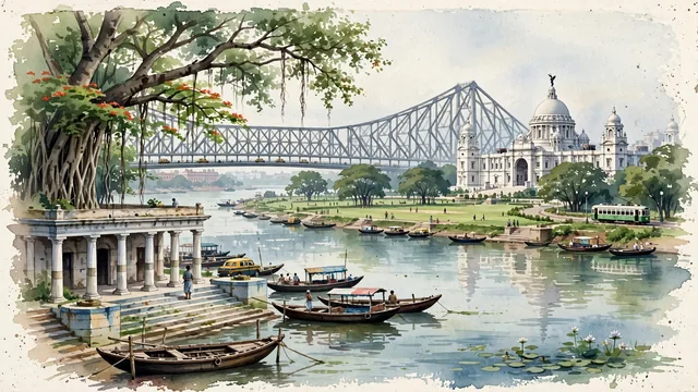
What guided this image
- Landmarks
- Howrah Bridge; Indo-Saracenic and British; Prinsep Ghat; Maidan; B.B.D. Bagh; Kolkata Trams; lush Gangetic delta flora; Job Charnock
- Viewpoint
- Favor the classic viewpoint looking along the Hooghly River toward Howrah Bridge with wooden boats in the foreground, or looking across the lake in the Maidan toward the white marble dome of Victoria Memorial framed by banyans, showing tree branches and stone steps in the foreground, the iconic architectural monument in the middle-ground, and the broad river or park horizon fading in the background.
- Palette
- Green should be the predominant color, especially in the vast park lawns of the Maidan, canopies of ancient banyans, and riverbank foliage.
- Guarded against
- Not Mumbai, Delhi, or Chennai
Population4,631,392Wikidata: 4,496,694
Coordinates22.56°N, 88.36°E
Elevation9 m
Area206 km²
Time zoneAsia/KolkataUTC+5:30
Solar noon11:37clock runs 0.4 h behind the sun
Through the Earth
Dig straight through the Earth from Kolkata and you surface in open ocean, nearest to San Juan Bautista, Chile — 1,757 km from the exact antipodal point.
Nearest cities in the atlas
| Howrah | IN | 5 km |
| Khulna | BD | 126 km |
| Jamshedpur | IN | 224 km |
| Dhanbad | IN | 241 km |
| Dhaka | BD | 246 km |
| Gazipur | BD | 264 km |
| Comilla | BD | 306 km |
| Ranchi | IN | 324 km |
Twinned cities
5 of 8 twinned cities are in this atlas. See the full network →