
City
East Jerusalem
Capital of Palestine
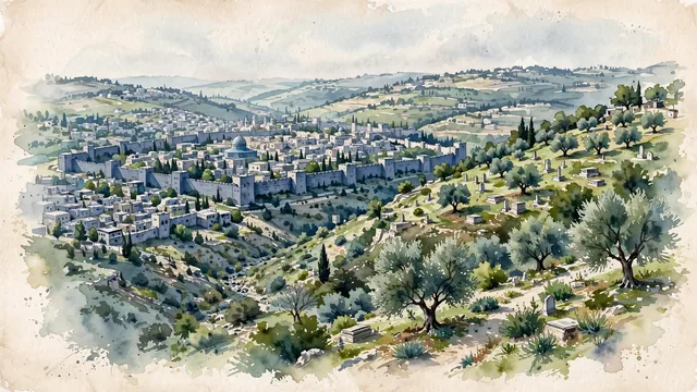
What guided this image
- Landmarks
- Mount of Olives
- Palette
- Green should be prominent in vegetation and the overall visual impression.
- Guarded against
- Not a fictional or generic city
Population428,304Wikidata: 236,000
Coordinates31.78°N, 35.23°E
Elevation760 m
Time zoneAsia/HebronUTC+2
Solar noon11:39clock runs 0.3 h behind the sun
Through the Earth
Dig straight through the Earth from East Jerusalem and you surface in open ocean, nearest to Mataura, French Polynesia — 1,046 km from the exact antipodal point.
Nearest cities in the atlas
| Jerusalem | IL | 1 km |
| Ramallah | PS | 14 km |
| Amman | JO | 71 km |
| Damascus | SY | 216 km |
| Beirut | LB | 236 km |
| Nicosia | CY | 415 km |
| Shubrā al Khaymah | EG | 422 km |
| Cairo | EG | 425 km |
Twinned cities
- Fes MA
1 of 1 twinned cities are in this atlas. See the full network →