
City
Shubrā al Khaymah
Egypt
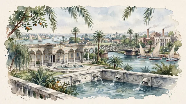
What guided this image
- Landmarks
- Saray Al-Faskiya; Ismailia Canal; Nile River; traditional Egyptian riverine and urban architecture; Nile Delta and Egyptian garden flora; Nile
- Viewpoint
- Favor the classic viewpoint looking across the landscape toward the signature landmarks of Shubrā al Khaymah, showing regional foliage and foreground textures, the iconic architectural monuments in the middle-ground, and the distant horizon fading in the background.
- Palette
- Green should be the predominant color, especially in tall date palms, sweet orange trees in royal orchards, and weeping willows along canals.
Population1,240,289Wikidata: 1,025,569
Coordinates30.13°N, 31.25°E
Elevation26 m
Area271 km²
Time zoneAfrica/CairoUTC+2
Solar noon11:55clock runs 0.1 h behind the sun
Through the Earth
Dig straight through the Earth from Shubrā al Khaymah and you surface in open ocean, nearest to Mataura, French Polynesia — 757 km from the exact antipodal point.
Nearest cities in the atlas
| Cairo | EG | 8 km |
| Giza | EG | 14 km |
| Alexandria | EG | 174 km |
| Jerusalem | IL | 420 km |
| East Jerusalem | PS | 422 km |
| Ramallah | PS | 425 km |
| Amman | JO | 492 km |
| Beirut | LB | 579 km |
Twinned cities
Wikidata records no twinned cities for Shubrā al Khaymah inside this atlas.