
City
Indore
India
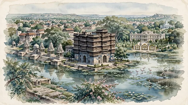
What guided this image
- Landmarks
- Rajwada Palace; Krishnapura Chhatris; Lal Bagh Palace; Kanch Mandir; Sirpur Lake and Bilawali Lake; Maratha; lush Malwa Plateau flora; Holkar Maratha
- Viewpoint
- Favor the classic viewpoint looking across the central square toward the iconic seven-story facade of Rajwada Palace or looking along the Khan River toward the Krishnapura Chhatris, showing neem tree branches and stone pavers in the foreground, the multi-tiered palace or carved stone cenotaphs in the middle-ground, and the soft Malwa plateau horizon fading in the background.
- Palette
- Green should be the predominant color, especially in the thick canopies of neem, banyan, and tamarind trees around Rajwada, Lal Bagh Palace gardens, and lake wetlands.
- Guarded against
- Not Bhopal, Ujjain, or Gwalior
Population1,994,397
Coordinates22.72°N, 75.83°E
Elevation553 m
Area530 km²
Time zoneAsia/KolkataUTC+5:30
Solar noon12:27clock runs 0.4 h ahead of the sun
Through the Earth
Dig straight through the Earth from Indore and you surface in open ocean, nearest to Hanga Roa, Chile — 723 km from the exact antipodal point.
Nearest cities in the atlas
| Bhopal | IN | 171 km |
| Vadodara | IN | 273 km |
| Kota | IN | 274 km |
| Aurangabad | IN | 320 km |
| Ahmedabad | IN | 334 km |
| Surat | IN | 353 km |
| Nashik | IN | 369 km |
| Nagpur | IN | 378 km |
Twinned cities
Wikidata records no twinned cities for Indore inside this atlas.