
City
Kumasi
Ghana
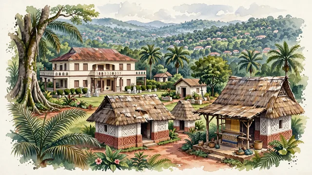
What guided this image
- Landmarks
- Manhyia Palace; UNESCO World Heritage Asante Traditional Buildings; Komfo Anokye Sword Site; Garden City of West Africa; Ashanti; lush tropical West African rainforest flora; Asante Empire
- Viewpoint
- Favor the classic viewpoint looking across the manicured lawns toward the verandas of Manhyia Palace or into the serene courtyard of an Asante shrine, showing oil palm fronds and red-clay paths in the foreground, the historic royal architecture and shaded verandas in the middle-ground, and the rolling forested hills of Kumasi fading in the background.
- Palette
- Green should be the predominant color, especially in the thick rainforest canopies covering Kumasi's hills, royal palace lawns, and sacred grove trees.
- Guarded against
- Not Accra, Tamale, or Cape Coast
Population2,544,530Wikidata: 3,903,480
Coordinates6.69°N, 1.62°W
Elevation300 m
Area254 km²
Time zoneAfrica/AccraUTC+0
Solar noon12:06clock runs 0.1 h ahead of the sun
Through the Earth
Dig straight through the Earth from Kumasi and you surface nearest to Asau Village, Tuvalu — 95 km from the exact antipodal point.
Nearest cities in the atlas
| Accra | GH | 201 km |
| Abobo | CI | 301 km |
| Abidjan | CI | 302 km |
| Lomé | TG | 320 km |
| Yamoussoukro | CI | 404 km |
| Porto-Novo | BJ | 467 km |
| Lagos | NG | 554 km |
| Ibadan | NG | 615 km |
Twinned cities
- Abidjan CI
1 of 11 twinned cities are in this atlas. See the full network →