
City
Malingao
Philippines
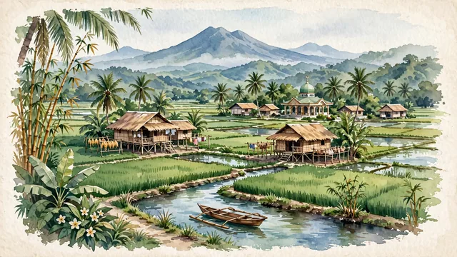
What guided this image
- Landmarks
- Maguindanaon; Rio Grande de Mindanao; Mount Apo; lush tropical Mindanao agricultural flora; Rio Grande de Mindanao
- Viewpoint
- Favor the classic viewpoint looking across the landscape toward the signature landmarks of Malingao, showing regional foliage and foreground textures, the iconic architectural monuments in the middle-ground, and the distant horizon fading in the background.
- Palette
- Green should be the predominant color, especially in thick coconut palm groves, banana trees, bamboo clusters, and emerald rice plants.
Population1,121,974
Coordinates7.16°N, 124.48°E
Elevation5 m
Time zoneAsia/ManilaUTC+8
Solar noon11:42clock runs 0.3 h behind the sun
Through the Earth
Dig straight through the Earth from Malingao and you surface nearest to Novo Progresso, Brazil — 16 km from the exact antipodal point.
Nearest cities in the atlas
| Budta | PH | 6 km |
| Davao | PH | 125 km |
| Zamboanga | PH | 267 km |
| Taguig | PH | 899 km |
| Manila | PH | 911 km |
| Quezon City | PH | 913 km |
| Caloocan | PH | 917 km |
| Bandar Seri Begawan | BN | 1,085 km |
Twinned cities
Wikidata records no twinned cities for Malingao inside this atlas.
This city sits on
- Philippinescountry
- 7Nparallel
- UTC+8offset