
City
Taguig
Philippines
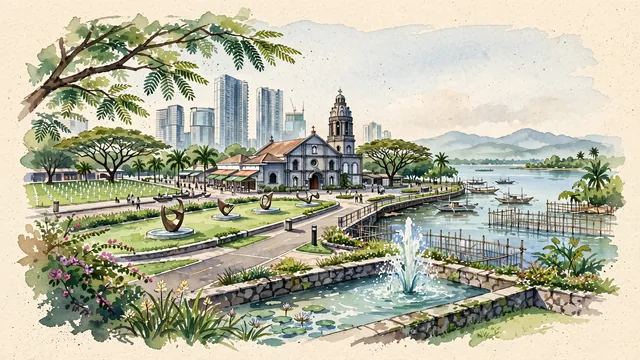
What guided this image
- Landmarks
- Bonifacio High Street; Saint Anne Archdiocesan Shrine; Laguna de Bay; Manila American Cemetery; tropical Philippine flora; Spanish-era
- Viewpoint
- Favor the classic viewpoint looking across the landscape toward the signature landmarks of Taguig, showing regional foliage and foreground textures, the iconic architectural monuments in the middle-ground, and the distant horizon fading in the background.
- Palette
- Green should be the predominant color, especially in rain trees (acacia) forming leafy canopies, royal palms, and flowering narra trees.
Population1,308,085Wikidata: 6,829
Coordinates14.52°N, 121.08°E
Elevation13 m
Area47 km²
Time zoneAsia/ManilaUTC+8
Solar noon11:56clock runs 0.1 h behind the sun
Through the Earth
Dig straight through the Earth from Taguig and you surface nearest to Conquista d'Oeste, Brazil — 67 km from the exact antipodal point.
Nearest cities in the atlas
| Manila | PH | 14 km |
| Quezon City | PH | 15 km |
| Caloocan | PH | 19 km |
| Zamboanga | PH | 853 km |
| Budta | PH | 893 km |
| Malingao | PH | 899 km |
| Kaohsiung | TW | 904 km |
| Tainan | TW | 946 km |
Twinned cities
Wikidata records no twinned cities for Taguig inside this atlas.
This city sits on
- Philippinescountry
- 14Nparallel
- UTC+8offset