
City
Nanning
China
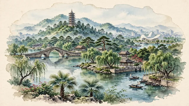
What guided this image
- Landmarks
- Longxiang Pagoda; Nanhu Lake; Yong River; Guangxi Culture and Art Center; classical Lingnan and Zhuang regional architecture; lush subtropical Guangxi flora; Ming
- Viewpoint
- Favor the classic viewpoint looking across the landscape toward the signature landmarks of Nanning, showing regional foliage and foreground textures, the iconic architectural monuments in the middle-ground, and the distant horizon fading in the background.
- Palette
- Green should be the predominant color, especially in banyan trees along river promenades, fan palms around Nanhu Lake, and Qingxiu Mountain pine forests.
Population3,839,800Wikidata: 7,254,100
Coordinates22.82°N, 108.32°E
Area22,099 km²
Time zoneAsia/ShanghaiUTC+8
Solar noon12:47clock runs 0.8 h ahead of the sun
Through the Earth
Dig straight through the Earth from Nanning and you surface nearest to Mejillones, Chile — 130 km from the exact antipodal point.
Nearest cities in the atlas
| Qinzhou | CN | 99 km |
| Guigang | CN | 134 km |
| Yulin | CN | 189 km |
| Liuzhou | CN | 200 km |
| Haiphong | VN | 276 km |
| Zhanjiang | CN | 277 km |
| Maoming | CN | 296 km |
| Hanoi | VN | 325 km |
Twinned cities
Wikidata records no twinned cities for Nanning inside this atlas.