
City
Nassau
Capital of The Bahamas
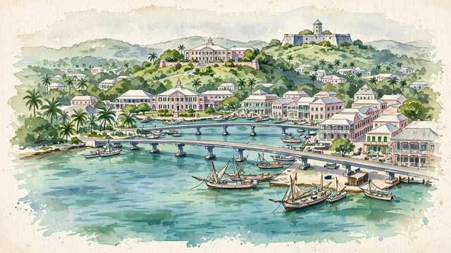
What guided this image
- Landmarks
- Government House; Parliament Square; Fort Fincastle; Paradise Island; Bay Street; Bahamian; Prince George Wharf; lush tropical vegetation
- Viewpoint
- Favor an elevated coastal viewpoint looking from Paradise Island or harbor approaches toward Downtown Nassau, showing the calm harbor waters, the Paradise Island bridge, and the pastel-roofed historic town rising to Government House on the ridge.
- Palette
- Green should be the predominant color, especially in the tropical palm groves, garden trees, and the clear blue-green and turquoise washes of Nassau Harbour.
- Guarded against
- Not a generic Caribbean resort enclave
Population227,940Wikidata: 259,300
Coordinates25.06°N, 77.34°W
Elevation34 m
Area207 km²
Time zoneAmerica/NassauUTC−5
Solar noon12:09clock runs 0.2 h ahead of the sun
Through the Earth
Dig straight through the Earth from Nassau and you surface in open ocean, nearest to Denham, Australia — 1,095 km from the exact antipodal point.
Nearest cities in the atlas
| Havana | CU | 555 km |
| Jacksonville | US | 724 km |
| Kingston | JM | 787 km |
| Port-au-Prince | HT | 890 km |
| Santiago de los Caballeros | DO | 926 km |
| Santo Domingo | DO | 1,062 km |
| Mérida | MX | 1,336 km |
| Belmopan | BZ | 1,467 km |
Twinned cities
Wikidata records no twinned cities for Nassau inside this atlas.
This city sits on
- The Bahamascountry
- 25Nparallel
- UTC−5offset