
City
Palikir
Capital of Federated States of Micronesia
What guided this image
- Landmarks
- Federated States of Micronesia National Government; Pohnpeian; Sokehs Rock; Pohnpei's; Pacific
- Viewpoint
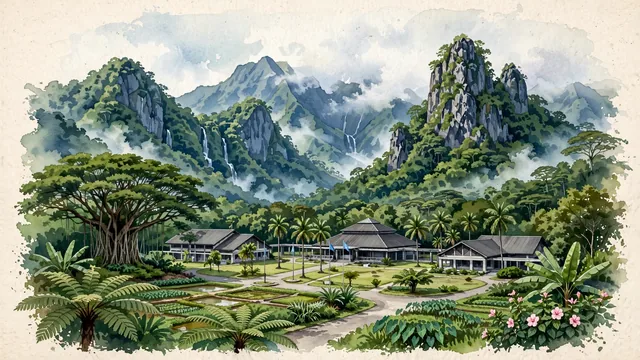
- Favor an elevated viewpoint looking toward the Palikir government complex from the valley entrance, showing the manicured tropical lawns and low-rise administrative buildings in the middle-ground, dramatically framed by the sheer, cloud-kissed volcanic peaks rising directly behind.
- Palette
- Green should be the predominant color, especially in the deep emerald rainforest of Pohnpei's mountains, tree fern groves, and valley lawns.
- Guarded against
- Not a commercial island town or tourist resort
Population6,942Wikidata: 6,227
Coordinates6.92°N, 158.16°E
Elevation80 m
Time zonePacific/PohnpeiUTC+11
Solar noon12:27clock runs 0.5 h ahead of the sun
Through the Earth
Dig straight through the Earth from Palikir and you surface in open ocean, nearest to Georgetown, Saint Helena, Ascension and Tristan da Cunha — 827 km from the exact antipodal point.
Nearest cities in the atlas
| Yaren | NR | 1,279 km |
| Majuro | MH | 1,459 km |
| Tarawa | KI | 1,757 km |
| Honiara | SB | 1,829 km |
| Port Moresby | PG | 2,194 km |
| Ngerulmud | PW | 2,597 km |
| Funafuti | TV | 2,895 km |
| Port-Vila | VU | 2,960 km |
Twinned cities
Wikidata records no twinned cities for Palikir inside this atlas.
This city sits on
- Federated States of Micronesiacountry
- 6Nparallel
- UTC+11offset