
City
Honiara
Capital of Solomon Islands
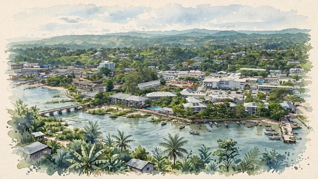
What guided this image
- Landmarks
- Mataniko River
- Palette
- Green should be prominent in vegetation and the overall visual impression.
- Guarded against
- Not a fictional or generic city
Population56,298Wikidata: 64,609
Coordinates9.43°S, 159.95°E
Elevation29 m
Area22 km²
Time zonePacific/GuadalcanalUTC+11
Solar noon12:20clock runs 0.3 h ahead of the sun
Through the Earth
Dig straight through the Earth from Honiara and you surface nearest to Cap Skirring, Senegal — 487 km from the exact antipodal point.
Nearest cities in the atlas
| Yaren | NR | 1,254 km |
| Port-Vila | VU | 1,292 km |
| Port Moresby | PG | 1,404 km |
| Palikir | FM | 1,829 km |
| Tarawa | KI | 1,875 km |
| Funafuti | TV | 2,115 km |
| Brisbane | AU | 2,133 km |
| Suva | FJ | 2,216 km |
Twinned cities
Wikidata records no twinned cities for Honiara inside this atlas.
This city sits on
- Solomon Islandscountry
- 10Sparallel
- UTC+11offset