
City
Comilla
Bangladesh
What guided this image
- Landmarks
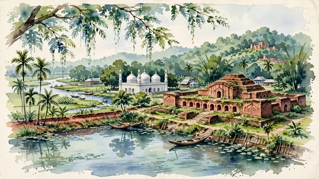
- Shalban Vihara; King Dharma Manikya; Shah Shuja Mosque; Queen Mainamati's Palace; Gomti River; traditional Bengali rural-urban architecture; lush eastern Bengal flora
- Viewpoint
- Favor the classic viewpoint overlooking the ancient red-brick walls and central temple of Shalban Vihara toward the Mainamati Hills, or looking across the tranquil waters of Dharmasagar Dighi, showing overhanging tree branches in the foreground, the archaeological brick structures or lake waters in the middle-ground, and the rolling green hills fading into the background.
- Palette
- Green should be the predominant color, especially in the thick canopies of rain trees around Dharmasagar Dighi, coconut palms, and the forested slopes of the Mainamati Hills.
- Guarded against
- Not Dhaka, Chittagong, or Sylhet
Population1,030,000Wikidata: 296,010
Coordinates23.46°N, 91.19°E
Elevation72 m
Area153 km²
Time zoneAsia/DhakaUTC+6
Solar noon11:55clock runs 0.1 h behind the sun
Through the Earth
Dig straight through the Earth from Comilla and you surface in open ocean, nearest to San Juan Bautista, Chile — 1,492 km from the exact antipodal point.
Nearest cities in the atlas
| Dhaka | BD | 84 km |
| Gazipur | BD | 99 km |
| Chattogram | BD | 141 km |
| Khulna | BD | 182 km |
| Kolkata | IN | 306 km |
| Howrah | IN | 310 km |
| Rangpur | BD | 321 km |
| Thimphu | BT | 472 km |
Twinned cities
Wikidata records no twinned cities for Comilla inside this atlas.
This city sits on
- Bangladeshcountry
- 23Nparallel
- UTC+6offset