
City
Ganzhou
China
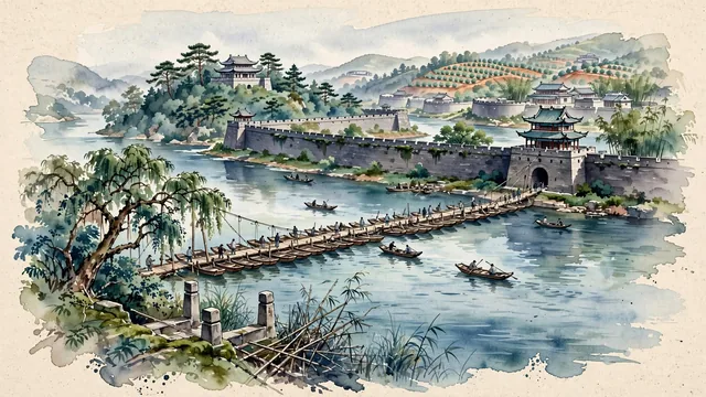
What guided this image
- Landmarks
- Song Dynasty Ancient Pontoon Bridge; Song Dynasty Ancient City Wall of Ganzhou; Yugu Pavilion; Zhang and Gong; Hakka; lush southern Jiangxi flora; Song
- Viewpoint
- Favor the classic viewpoint looking across the Gong River toward the ancient pontoon bridge and the Song City Wall, showing camphor tree branches and stone embankment steps in the foreground, the linked wooden boats and planks of the pontoon bridge spanning the river in the middle-ground, and the ancient brick city walls and Bajingtai pavilion rising in the background.
- Palette
- Green should be the predominant color, especially in the thick canopies of ancient camphor trees along the riverbank, bamboo groves, and forested hillsides of Bajingtai.
- Guarded against
- Not Nanchang, Jiujiang, or Jingdezhen
Population1,977,253Wikidata: 8,368,447
Coordinates25.85°N, 114.93°E
Elevation107 m
Area39,363 km²
Time zoneAsia/ShanghaiUTC+8
Solar noon12:20clock runs 0.3 h ahead of the sun
Through the Earth
Dig straight through the Earth from Ganzhou and you surface nearest to Rosario de la Frontera, Argentina — 11 km from the exact antipodal point.
Nearest cities in the atlas
| Shaoguan | CN | 179 km |
| Yichun | CN | 226 km |
| Longyan | CN | 227 km |
| Hengyang | CN | 258 km |
| Fuzhou | CN | 273 km |
| Zhuzhou | CN | 282 km |
| Guankou | CN | 287 km |
| Jieyang | CN | 295 km |
Twinned cities
- Freetown SL
1 of 1 twinned cities are in this atlas. See the full network →