
City
Longyan
China
What guided this image
- Landmarks
- UNESCO World Heritage Fujian Tulou of Yongding; Hongkeng Tulou; Mount Guanzhaishan; Gutian Congress Site; Hakka; Minxi; lush western Fujian subtropical mountain flora; Hakka
- Viewpoint
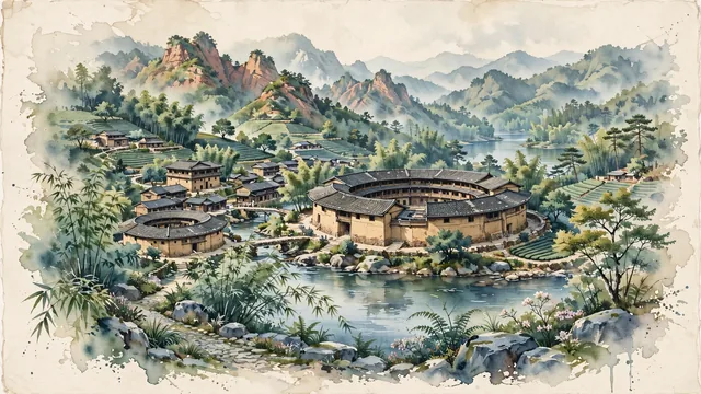
- Favor the classic viewpoint looking across the mountain stream toward the massive circular rammed-earth Tulou with terraced hills rising behind it, showing bamboo fronds and stream boulders in the foreground, the majestic curved earthen walls and dark tiled eaves of the Tulou in the middle-ground, and the mist-veiled Minxi mountain ridges fading in the background.
- Palette
- Green should be the predominant color, especially in the thick bamboo groves, terraced tea hills surrounding the villages, and camphor canopies.
- Guarded against
- Not Zhangzhou, Sanming, or Quanzhou
Population1,025,087Wikidata: 2,723,637
Coordinates25.07°N, 117.02°E
Area19,028 km²
Time zoneAsia/ShanghaiUTC+8
Solar noon12:12clock runs 0.2 h ahead of the sun
Through the Earth
Dig straight through the Earth from Longyan and you surface nearest to Taco Pozo, Argentina — 68 km from the exact antipodal point.
Nearest cities in the atlas
| Xiamen | CN | 126 km |
| Jinjiang | CN | 159 km |
| Quanzhou | CN | 159 km |
| Chaozhou | CN | 163 km |
| Jieyang | CN | 182 km |
| Shantou | CN | 194 km |
| Putian | CN | 204 km |
| Ganzhou | CN | 227 km |
Twinned cities
Wikidata records no twinned cities for Longyan inside this atlas.