
City
Port Louis
Capital of Mauritius
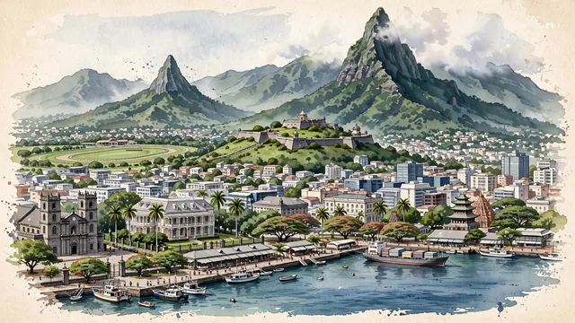
What guided this image
- Landmarks
- Moka Range; Caudan Waterfront; Citadel; Champ de Mars; Government House; Saint Louis Cathedral; Tamil
- Viewpoint
- Favor an elevated coastal viewpoint looking from across the harbor toward the city, showing the calm blue-green waters in the foreground, the colonial and modern skyline in the middle-ground, and the dramatic sheer peak of Le Pouce rising directly in the background.
- Palette
- Green should be the predominant color, especially in the steep rainforest slopes of Le Pouce and the Moka mountains, Champ de Mars turf, and royal palms.
- Guarded against
- Not a generic tropical resort
Population155,226Wikidata: 149,194
Coordinates20.16°S, 57.50°E
Elevation134 m
Area46,700,000 km²
Time zoneIndian/MauritiusUTC+4
Solar noon12:10clock runs 0.2 h ahead of the sun
Through the Earth
Dig straight through the Earth from Port Louis and you surface in open ocean, nearest to Bahía Tortugas, Mexico — 1,139 km from the exact antipodal point.
Nearest cities in the atlas
| Antananarivo | MG | 1,053 km |
| Victoria | SC | 1,742 km |
| Moroni | KM | 1,788 km |
| Dar es Salaam | TZ | 2,462 km |
| Lilongwe | MW | 2,610 km |
| Maputo | MZ | 2,625 km |
| Mombasa | KE | 2,635 km |
| Matola | MZ | 2,637 km |
Twinned cities
3 of 7 twinned cities are in this atlas. See the full network →