
City
Tunis
Capital of Tunisia
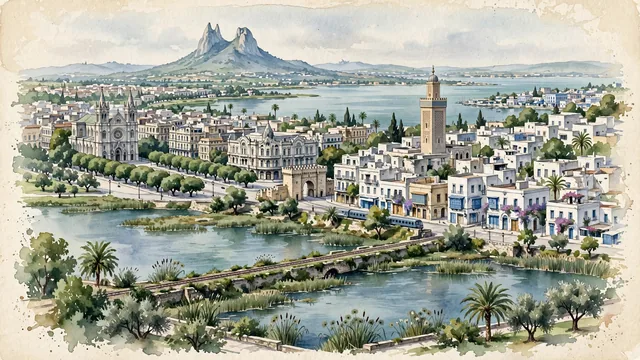
What guided this image
- Landmarks
- Al-Zaytuna Mosque; Bab El Bhar; UNESCO World Heritage Medina of Tunis; Lake Tunis; Mount Boukornine; Sidi Bou Said; Islamic Almohad and Hafsid
- Viewpoint
- Favor an elevated viewpoint overlooking Lake Tunis toward the medina and Ville Nouvelle (such as from Belvedere Park or the lake causeway), showing the calm lagoon waters in the foreground, the minaret of Al-Zaytuna and Avenue Bourguiba in the middle-ground, and the distant silhouette of Mount Boukornine framing the horizon.
- Palette
- Green should be the predominant color, especially in the ficus trees along Avenue Habib Bourguiba, Belvedere Park woods, date palms, and olive groves.
- Guarded against
- Not a generic Arab or desert medina
Population693,210Wikidata: 638,845
Coordinates36.82°N, 10.17°E
Elevation4 m
Area212,630,000 km²
Time zoneAfrica/TunisUTC+1
Solar noon12:19clock runs 0.3 h ahead of the sun
Through the Earth
Dig straight through the Earth from Tunis and you surface in open ocean, nearest to Waitangi, New Zealand — 976 km from the exact antipodal point.
Nearest cities in the atlas
| Valletta | MT | 402 km |
| Tripoli | LY | 517 km |
| Vatican City | VA | 598 km |
| Rome | IT | 599 km |
| Algiers | DZ | 631 km |
| Monaco | MC | 804 km |
| San Marino | SM | 815 km |
| Barcelona | ES | 857 km |
Twinned cities
- Amman JO
- Doha QA
- Istanbul TR
- Jeddah SA
- Köln DE
- Kuwait City KW
- Lisbon PT
- Montréal CA
- Moscow RU
- Muscat OM
- Paris FR
- Prague CZ
- Rabat MA
- Ramallah PS
- Rio de Janeiro BR
- Santiago CL
- Stockholm SE
- Tashkent UZ
- Tripoli LY
19 of 21 twinned cities are in this atlas. See the full network →