
City
Benin City
Nigeria
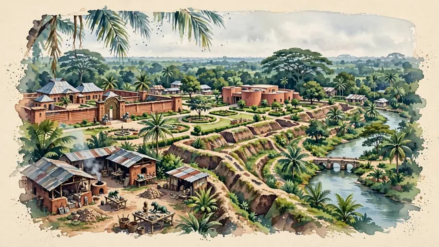
What guided this image
- Landmarks
- Oba of Benin's Royal Palace; King's Square; Igun Street; Benin Moat and Earthworks; Ikpoba River; traditional Edo residential architecture; lush tropical flora; Edo
- Viewpoint
- Favor an elevated viewpoint overlooking King's Square toward the Oba's Palace and Igun Street, showing tropical palm canopies in the foreground, the palace walls, bronze motifs, and museum grounds in the middle-ground, and the vast, rolling green rainforest horizon in the background.
- Palette
- Green should be the predominant color, especially in the thick primary rainforest canopies along the Ikpoba River, oil palm groves, and landscaped museum gardens.
- Guarded against
- Not Lagos, Ibadan, or Kano
Population1,782,000Wikidata: 1,147,188
Coordinates6.34°N, 5.63°E
Elevation80 m
Area1,204 km²
Time zoneAfrica/LagosUTC+1
Solar noon12:37clock runs 0.6 h ahead of the sun
Through the Earth
Dig straight through the Earth from Benin City and you surface nearest to Atafu Village, Tokelau — 318 km from the exact antipodal point.
Nearest cities in the atlas
| Onitsha | NG | 130 km |
| Ibadan | NG | 222 km |
| Port Harcourt | NG | 231 km |
| Aba | NG | 236 km |
| Lagos | NG | 248 km |
| Ilorin | NG | 269 km |
| Porto-Novo | BJ | 335 km |
| Abuja | NG | 366 km |
Twinned cities
Wikidata records no twinned cities for Benin City inside this atlas.