
City
Callao
Peru
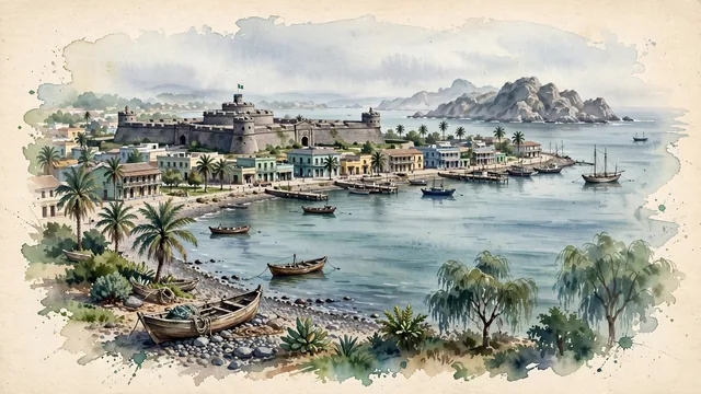
What guided this image
- Landmarks
- Punta; Monumental Callao; Callao; Isla San Lorenzo; coastal Pacific flora; Republican
- Viewpoint
- Favor the classic coastal viewpoint from La Punta or the harbor approaches looking toward the Fortaleza del Real Felipe and the bay, showing pebble beach shores and fishing boats in the foreground, the formidable stone ramparts and watchtowers of Real Felipe in the middle-ground, and the rocky silhouette of Isla San Lorenzo fading into atmospheric watercolor across the bay.
- Palette
- Green should be the predominant color, especially in the palm trees along Malecón Pardo, plaza gardens, and coastal vegetation.
- Guarded against
- Avoid confusing Callao with downtown Lima (Callao is defined by the ocean bay, Real Felipe fortress, and La Punta peninsula).
Population1,300,000Wikidata: 567,702
Coordinates12.05°S, 77.13°W
Elevation5 m
Area147 km²
Time zoneAmerica/LimaUTC−5
Solar noon12:09clock runs 0.1 h ahead of the sun
Through the Earth
Dig straight through the Earth from Callao and you surface nearest to Khlong Yai, Thailand — 30 km from the exact antipodal point.
Nearest cities in the atlas
| Lima | PE | 11 km |
| Arequipa | PE | 773 km |
| La Paz | BO | 1,087 km |
| Guayaquil | EC | 1,137 km |
| Quito | EC | 1,323 km |
| Sucre | BO | 1,489 km |
| Santa Cruz de la Sierra | BO | 1,628 km |
| Cali | CO | 1,723 km |
Twinned cities
7 of 25 twinned cities are in this atlas. See the full network →