
City
Yokohama
Japan
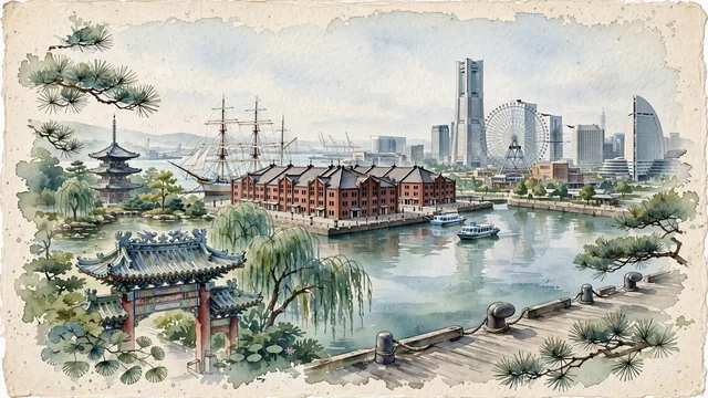
What guided this image
- Landmarks
- Yokohama Landmark Tower; Yokohama Red Brick Warehouse; Edo and Muromachi; Nippon Maru; Yokohama Chinatown; Kanagawa coastal and garden flora; Meiji-era
- Viewpoint
- Favor the classic viewpoint looking across the landscape toward the signature landmarks of Yokohama, showing regional foliage and foreground textures, the iconic architectural monuments in the middle-ground, and the distant horizon fading in the background.
- Palette
- Green should be the predominant color, especially in sculpted black pines along harbor promenades, weeping willows in Sankeien Garden, and ginkgo trees.
Population3,777,491Wikidata: 3,688,773
Coordinates35.43°N, 139.65°E
Elevation24 m
Area438 km²
Time zoneAsia/TokyoUTC+9
Solar noon11:41clock runs 0.3 h behind the sun
Through the Earth
Dig straight through the Earth from Yokohama and you surface in open ocean, nearest to Balneário Pinhal, Brazil — 1,087 km from the exact antipodal point.
Nearest cities in the atlas
| Kawasaki | JP | 12 km |
| Tokyo | JP | 29 km |
| Saitama | JP | 53 km |
| Nagoya | JP | 250 km |
| Sendai | JP | 334 km |
| Kyoto | JP | 357 km |
| Osaka | JP | 387 km |
| Kobe | JP | 415 km |
Twinned cities
- Beijing CN
- Busan KR
- Callao PE
- Hanoi VN
- Ho Chi Minh City VN
- Incheon KR
- Manila PH
- Mumbai IN
- Odesa UA
- San Diego US
- Shanghai CN
11 of 16 twinned cities are in this atlas. See the full network →