
City
Sucre
Capital of Bolivia
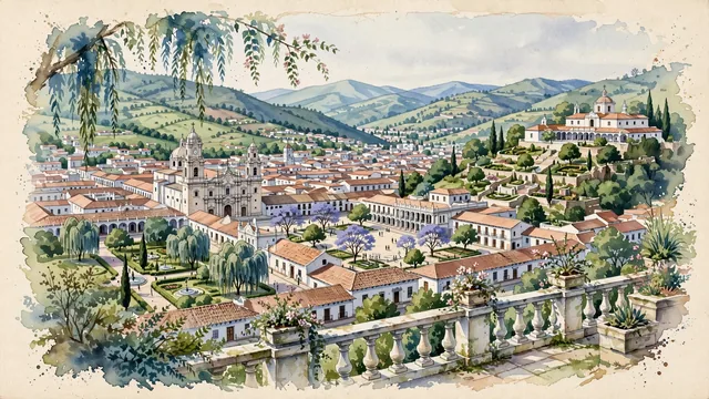
What guided this image
- Landmarks
- Convent of San Felipe Neri; Metropolitan Cathedral of Sucre; Casa de la Libertad; Recoleta; lush public parklands; Sica Sica and Churuquella
- Viewpoint
- Favor the classic elevated viewpoint from the Mirador de La Recoleta on the slopes of Churuquella looking northwest over the city, showing the red-tile rooftops and white courtyards spreading across the valley floor, with the towers of San Felipe Neri and the Cathedral anchoring the middle-ground.
- Palette
- Green should be the predominant color, especially in the rolling slopes of Sica Sica and Churuquella, Parque Bolívar, and courtyard gardens.
- Guarded against
- Avoid confusing Sucre with La Paz (no high-altitude canyon walls, snow-capped Mount Illimani, or cable cars); Sucre is a peaceful, whitewashed colonial valley town with rolling green hills.
Population224,838Wikidata: 300,000
Coordinates19.03°S, 65.26°W
Elevation2,810 m
Area1,768 km²
Time zoneAmerica/La_PazUTC−4
Solar noon12:21clock runs 0.4 h ahead of the sun
Through the Earth
Dig straight through the Earth from Sucre and you surface nearest to Hoàng Sa, Vietnam — 338 km from the exact antipodal point.
Nearest cities in the atlas
| Santa Cruz de la Sierra | BO | 259 km |
| La Paz | BO | 416 km |
| Arequipa | PE | 727 km |
| Asunción | PY | 1,048 km |
| Córdoba | AR | 1,381 km |
| Lima | PE | 1,480 km |
| Callao | PE | 1,489 km |
| Santiago | CL | 1,691 km |
Twinned cities
7 of 14 twinned cities are in this atlas. See the full network →