
City
Santa Cruz de la Sierra
Bolivia
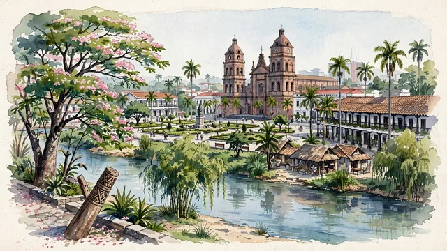
What guided this image
- Landmarks
- Basílica Menor de San Lorenzo; Plaza; Piraí River; traditional tropical lowland architecture; tropical lowland Bolivian flora; Amazonian
- Viewpoint
- Favor the classic viewpoint looking across the landscape toward the signature landmarks of Santa Cruz de la Sierra, showing regional foliage and foreground textures, the iconic architectural monuments in the middle-ground, and the distant horizon fading in the background.
- Palette
- Green should be the predominant color, especially in swollen toborochi trees with pink blossoms, totai palms, and tajibo trees.
Population1,831,434Wikidata: 3,122,605
Coordinates17.79°S, 63.18°W
Elevation416 m
Area535 km²
Time zoneAmerica/La_PazUTC−4
Solar noon12:13clock runs 0.2 h ahead of the sun
Through the Earth
Dig straight through the Earth from Santa Cruz de la Sierra and you surface nearest to Catuday, Philippines — 359 km from the exact antipodal point.
Nearest cities in the atlas
| Sucre | BO | 259 km |
| La Paz | BO | 547 km |
| Arequipa | PE | 902 km |
| Asunción | PY | 1,011 km |
| Goiânia | BR | 1,484 km |
| Córdoba | AR | 1,518 km |
| Lima | PE | 1,619 km |
| Callao | PE | 1,628 km |
Twinned cities
4 of 9 twinned cities are in this atlas. See the full network →