
City
Campinas
Brazil
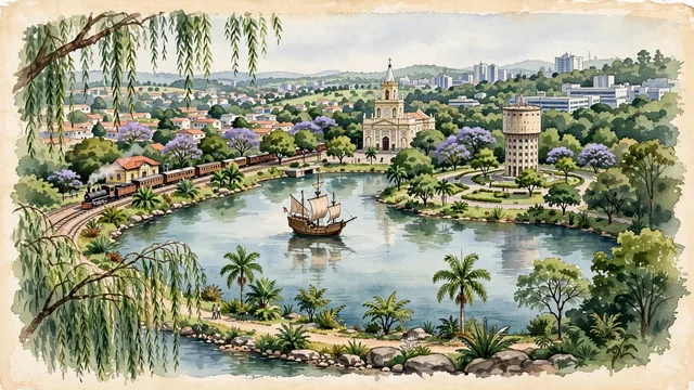
What guided this image
- Landmarks
- Lagoa do Taquaral; Metropolitan Cathedral of Campinas; Station of the Companhia Mogiana; Castelo; University of Campinas; expansive urban parks
- Viewpoint
- Favor the classic viewpoint across Lagoa do Taquaral looking toward the replica caravel and the city skyline, showing weeping willows and lagoon walkways in the foreground, the historic caravel ship and lake waters in the middle-ground, and the rolling green hills and modern skyline of Campinas in the background.
- Palette
- Green should be the predominant color, especially in the thick Atlantic Forest remnants of Bosque dos Jequitibás, weeping willows around Lagoa do Taquaral, and roadside ipês.
- Guarded against
- Avoid confusing Campinas with São Paulo (no endless concrete canyon walls; Campinas is characterized by wide lagoons, green parks, and rolling hills).
Population1,031,554
Coordinates22.91°S, 47.06°W
Elevation684 m
Time zoneAmerica/Sao_PauloUTC−3
Solar noon12:08clock runs 0.1 h ahead of the sun
Through the Earth
Dig straight through the Earth from Campinas and you surface nearest to Zaisho, Japan — 368 km from the exact antipodal point.
Nearest cities in the atlas
| Guarulhos | BR | 82 km |
| São Paulo | BR | 83 km |
| Curitiba | BR | 359 km |
| Rio de Janeiro | BR | 397 km |
| Belo Horizonte | BR | 463 km |
| Goiânia | BR | 730 km |
| Brasília | BR | 798 km |
| Porto Alegre | BR | 894 km |
Twinned cities
Wikidata records no twinned cities for Campinas inside this atlas.
This city sits on