
City
Kyoto
Japan
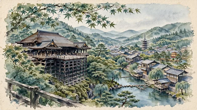
What guided this image
- Landmarks
- Kiyomizu-dera; Yasaka Pagoda; Kamo River; Golden Pavilion of Kinkaku-ji; Higashiyama; lush Kyoto flora; Heian
- Viewpoint
- Favor the classic viewpoint looking across the lush maple valley toward the wooden cantilever stage and sweeping hip-and-gable roof of Kiyomizu-dera with the green slopes of Otowayama in the background, showing maple branches in the foreground, the majestic wooden temple structure in the middle-ground, and the soft Kyoto mountain basin horizon fading in the background.
- Palette
- Green should be the predominant color, especially in the thick maple and pine canopies of Higashiyama, mossy temple courtyards, and weeping willows along the Kamo River.
- Guarded against
- Not Tokyo, Osaka, or Nara
Population1,463,723Wikidata: 1,448,964
Coordinates35.02°N, 135.75°E
Area828 km²
Time zoneAsia/TokyoUTC+9
Solar noon11:57clock runs 0.1 h behind the sun
Through the Earth
Dig straight through the Earth from Kyoto and you surface in open ocean, nearest to Mostardas, Brazil — 758 km from the exact antipodal point.
Nearest cities in the atlas
| Osaka | JP | 43 km |
| Kobe | JP | 64 km |
| Nagoya | JP | 107 km |
| Hiroshima | JP | 309 km |
| Yokohama | JP | 357 km |
| Kawasaki | JP | 365 km |
| Tokyo | JP | 365 km |
| Saitama | JP | 368 km |
Twinned cities
7 of 14 twinned cities are in this atlas. See the full network →