
City
Libreville
Capital of Gabon
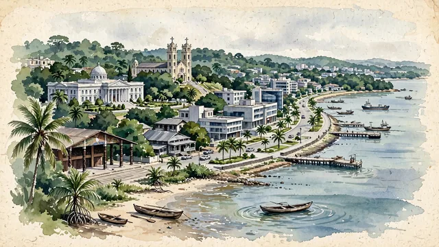
What guided this image
- Landmarks
- Saint-Michel de Nkembo Church; Presidential Palace; Sainte-Marie Cathedral; Boulevard Triomphal
- Viewpoint
- Favor an elevated coastal viewpoint looking along the curve of Boulevard Bord de Mer, showing the meeting of the Atlantic estuary and the green forested city, with the towers of Sainte-Marie Cathedral and modern civic buildings rising above the palm tree canopy.
- Palette
- Green should be the predominant color, especially in the lush equatorial rainforest canopy, coastal palm groves, and landscaped seaside gardens.
- Guarded against
- Not a generic coastal African town
Population846,090Wikidata: 899,000
Coordinates0.39°N, 9.45°E
Elevation13 m
Area189 km²
Time zoneAfrica/LibrevilleUTC+1
Solar noon12:22clock runs 0.4 h ahead of the sun
Through the Earth
Dig straight through the Earth from Libreville and you surface in open ocean, nearest to Atafu Village, Tokelau — 932 km from the exact antipodal point.
Nearest cities in the atlas
| Ciudad de la Paz | GQ | 202 km |
| São Tomé | ST | 302 km |
| Douala | CM | 408 km |
| Yaoundé | CM | 450 km |
| Port Harcourt | NG | 558 km |
| Aba | NG | 573 km |
| Pointe-Noire | CG | 634 km |
| Onitsha | NG | 705 km |
Twinned cities
2 of 3 twinned cities are in this atlas. See the full network →