
City
Yaoundé
Capital of Cameroon
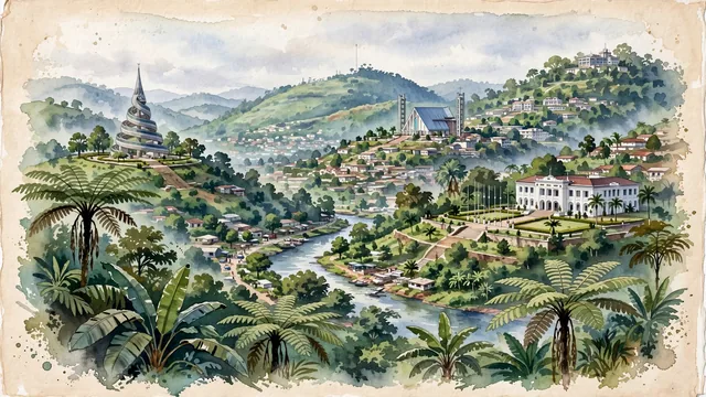
What guided this image
- Landmarks
- Monument de la Réunification; Cathédrale Notre-Dame-des-Victoires; National Museum of Yaoundé; Etoudi; Mount Fébé and Mount Mbankolo; Mount Fébé; Mfoundi River; German and French
- Viewpoint
- Favor the classic elevated viewpoint from the heights of Mount Fébé or an opposing green hill looking across the valley toward central Yaoundé, showing the forested slopes in the foreground, the cathedral and civic monuments in the middle-ground, and the rolling green ridges of the seven hills receding into the distance.
- Palette
- Green should be the predominant color, especially in the thick primary rainforest of Mount Fébé, hillside banana and mango trees, and lush valley parklands.
- Guarded against
- Avoid confusing Yaoundé with coastal Douala (no sea port or flat coastal estuary); Yaoundé is an inland, cool, hilly green rainforest capital defined by its rolling peaks.
Population1,299,369Wikidata: 2,440,462
Coordinates3.87°N, 11.52°E
Elevation764 m
Area180 km²
Time zoneAfrica/DoualaUTC+1
Solar noon12:14clock runs 0.2 h ahead of the sun
Through the Earth
Dig straight through the Earth from Yaoundé and you surface in open ocean, nearest to Atafu Village, Tokelau — 685 km from the exact antipodal point.
Nearest cities in the atlas
| Douala | CM | 203 km |
| Ciudad de la Paz | GQ | 265 km |
| Libreville | GA | 450 km |
| Aba | NG | 480 km |
| Port Harcourt | NG | 510 km |
| Onitsha | NG | 582 km |
| São Tomé | ST | 661 km |
| Benin City | NG | 708 km |
Twinned cities
- Shenyang CN
1 of 3 twinned cities are in this atlas. See the full network →