
City
Douala
Cameroon
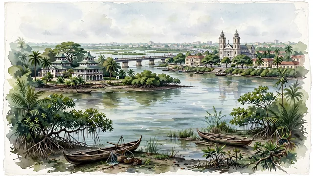
What guided this image
- Landmarks
- Rois Bell; Cathedral of Saints Peter and Paul; Wouri Bridge; Bonanjo; lush equatorial coastal flora; German and French
- Viewpoint
- Favor the classic viewpoint looking from the banks of the Wouri River across toward Bonanjo, showing mangrove branches and wooden pirogues in the foreground, the sweeping river waters, Wouri Bridge, and colonial architecture in the middle-ground, and the low-rise green skyline fading in the background.
- Palette
- Green should be the predominant color, especially in the thick canopies of mango trees in Bonanjo, lush coastal mangroves along the Wouri estuary, and royal palm groves.
- Guarded against
- Not Yaoundé, Libreville, or Lagos
Population1,338,082Wikidata: 2,446,945
Coordinates4.05°N, 9.70°E
Elevation13 m
Area210 km²
Time zoneAfrica/DoualaUTC+1
Solar noon12:21clock runs 0.4 h ahead of the sun
Through the Earth
Dig straight through the Earth from Douala and you surface in open ocean, nearest to Atafu Village, Tokelau — 556 km from the exact antipodal point.
Nearest cities in the atlas
| Yaoundé | CM | 203 km |
| Aba | NG | 284 km |
| Ciudad de la Paz | GQ | 300 km |
| Port Harcourt | NG | 309 km |
| Onitsha | NG | 398 km |
| Libreville | GA | 408 km |
| Benin City | NG | 518 km |
| São Tomé | ST | 528 km |
Twinned cities
- Dakar SN
- Durban ZA
- Ouagadougou BF
- Philadelphia US
- Rome IT
- Taiyuan CN
- Windhoek NA
7 of 12 twinned cities are in this atlas. See the full network →