
City
Pointe-Noire
Republic of the Congo
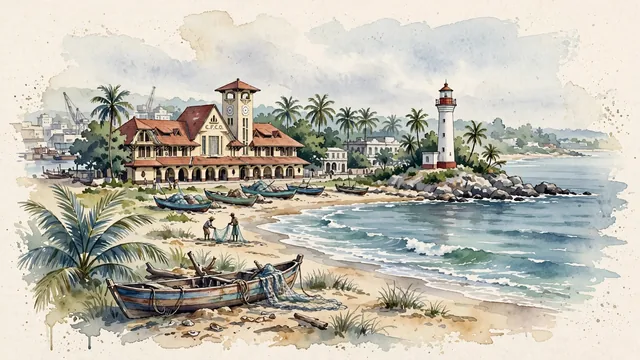
What guided this image
- Landmarks
- Gare de Pointe-Noire; Côte Sauvage; Pointe-Noire Lighthouse; colonial and modern tropical architecture; lush coastal Congolese flora; Art Deco
- Viewpoint
- Favor the classic viewpoint looking across the landscape toward the signature landmarks of Pointe-Noire, showing regional foliage and foreground textures, the iconic architectural monuments in the middle-ground, and the distant horizon fading in the background.
- Palette
- Green should be the predominant color, especially in coconut palms swaying along Côte Sauvage, tropical almond trees, and royal palms.
Population1,032,000Wikidata: 787,799
Coordinates4.78°S, 11.86°E
Elevation14 m
Area2,134 km²
Time zoneAfrica/BrazzavilleUTC+1
Solar noon12:13clock runs 0.2 h ahead of the sun
Through the Earth
Dig straight through the Earth from Pointe-Noire and you surface in open ocean, nearest to Napari Village, Kiribati — 975 km from the exact antipodal point.
Nearest cities in the atlas
| Brazzaville | CG | 383 km |
| Kinshasa | CD | 386 km |
| Luanda | AO | 476 km |
| Libreville | GA | 634 km |
| Ciudad de la Paz | GQ | 718 km |
| São Tomé | ST | 805 km |
| Yaoundé | CM | 963 km |
| Douala | CM | 1,011 km |
Twinned cities
- Dalian CN
1 of 3 twinned cities are in this atlas. See the full network →
This city sits on
- Republic of the Congocountry
- 5Sparallel
- UTC+1offset