
City
Gitega
Capital of Burundi
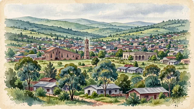
What guided this image
- Landmarks
- Cathedral of Christ the King
- Palette
- Green should be prominent in vegetation and the overall visual impression.
- Guarded against
- Not a fictional or generic city
Population64,904Wikidata: 41,944
Coordinates3.43°S, 29.92°E
Elevation1,504 m
Area22 km²
Time zoneAfrica/BujumburaUTC+2
Solar noon12:00clock runs 0.0 h ahead of the sun
Through the Earth
Dig straight through the Earth from Gitega and you surface in open ocean, nearest to Banana Village, Kiribati — 826 km from the exact antipodal point.
Nearest cities in the atlas
| Kigali | RW | 165 km |
| Mwanza | TZ | 346 km |
| Kampala | UG | 511 km |
| Kakamega | KE | 677 km |
| Kisangani | CD | 685 km |
| Dodoma | TZ | 713 km |
| Mbuji-Mayi | CD | 763 km |
| Nairobi | KE | 803 km |
Twinned cities
Wikidata records no twinned cities for Gitega inside this atlas.